
CROW-MAP
Mapping
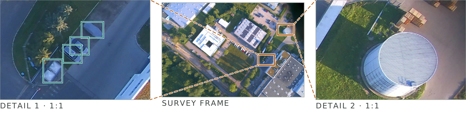
Downward survey camera stores encrypted images and can also transmit them live while the aircraft is still up. Vehicle detection runs on board.
26 MP APS-C · 16 / 25 / 35 mm · 3.0 cm/px at 200 m

Autonomous adaptable carrier
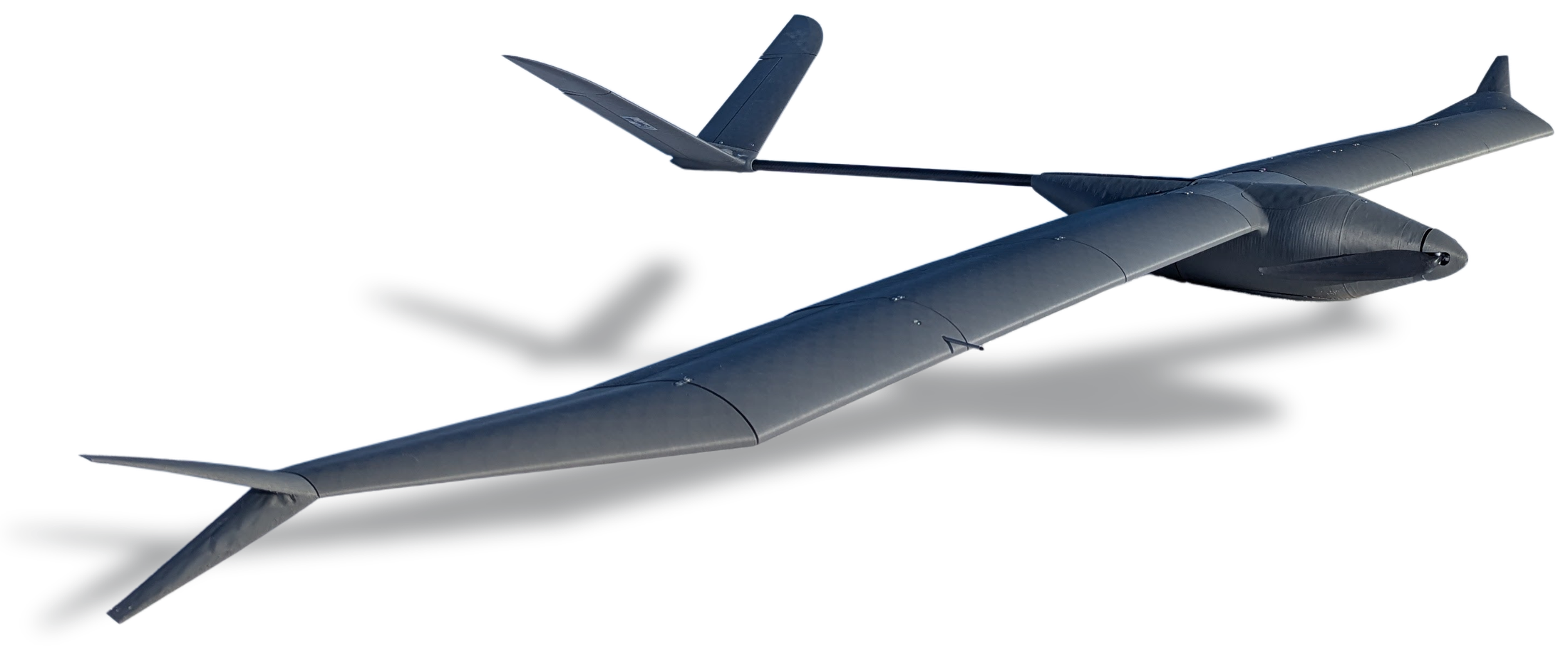
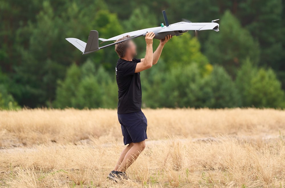
One long-endurance airframe, sensor payloads to 2 kg, many configurations. The payload changes; the aircraft, the autopilot and the ground station do not.
The moment a commander starts rationing a capability, it stops being mass.
Crow is built to be flown at the mission that risks it. A 3D-printed structure whose parts can be reprinted in the field, hand launch with no catapult or runway to defend, and a cost per airframe that makes the decision to fly a tactical one rather than a budgetary one.
Current configurations
CROW-MAP
Downward survey camera stores encrypted images and can also transmit them live while the aircraft is still up. Vehicle detection runs on board.
26 MP APS-C · 16 / 25 / 35 mm · 3.0 cm/px at 200 m
CROW-VID-ZOOM
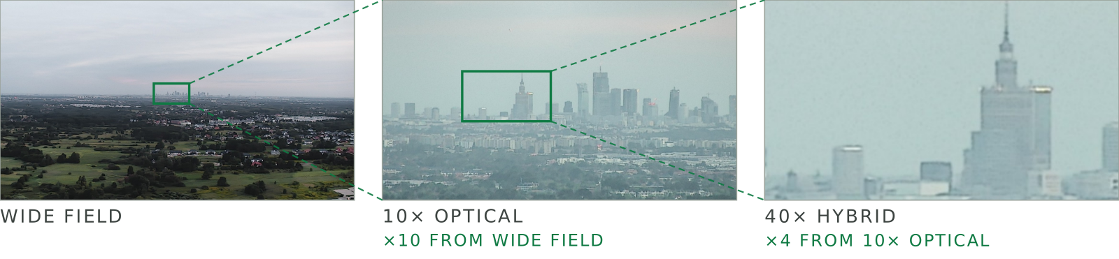
Identification from a safe distance, not just detection overhead. The standard version keeps full color into dusk, using larger pixels to capture more light. If long-range detail matters more than low-light performance, the 4K version trades some sensitivity for up to 80× hybrid zoom.
1080p · 40× hybrid · yaw ±360° continuous — 4K · 80× build on request
Additional variants
CROW-VID-IR
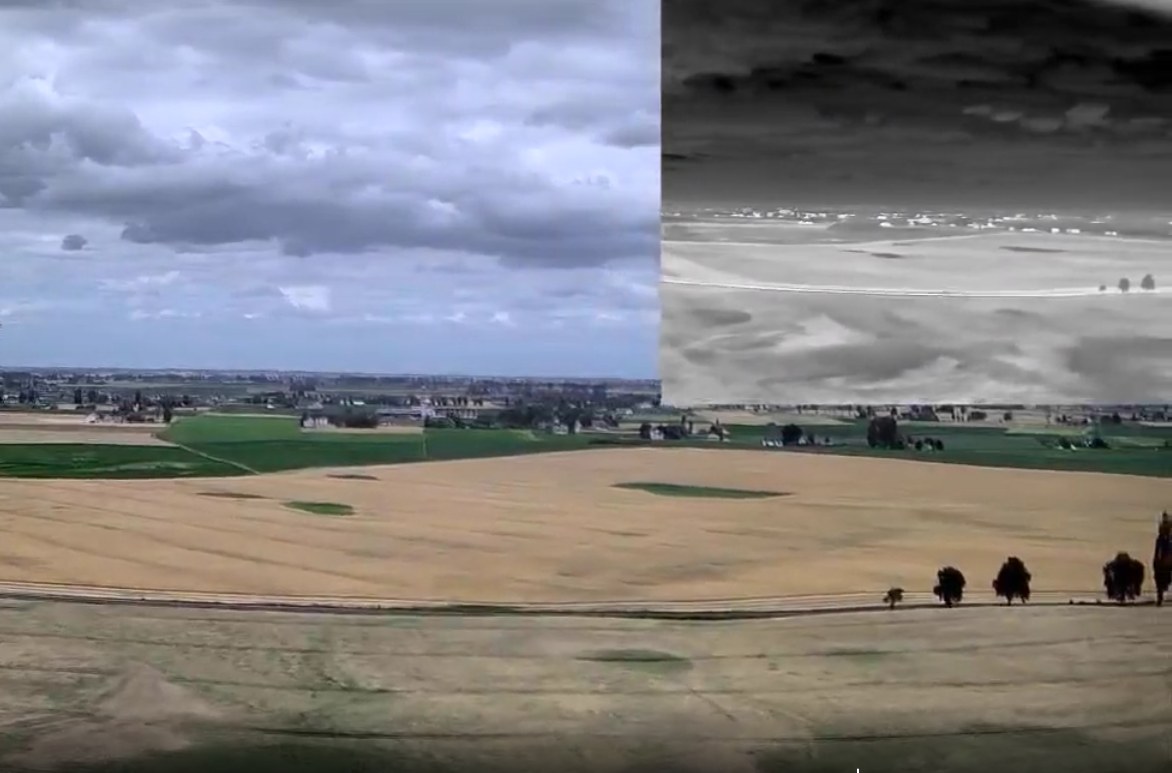
An uncooled thermal channel beside a 4K low-light one, on a three-axis gimbal steered in flight. The thermal channel sees in total darkness and reads through smoke and foliage.
640 × 512 uncooled · NETD < 40 mK · 8× digital zoom · yaw ±140°
CROW-TRAIN
Learn the platform at reduced cost. Same airframe, same autopilot, same ground station software — a crew trained here is trained on all of them.
Micro EO gimbal · 10 MP mapping camera · 40 km link
Security
Encrypted storage
Frames, video and logs are written to an encrypted card. Pulled out and read anywhere else, it yields nothing.
Decoy home point
The launch coordinates can be overwritten with false ones before every flight, so a downed airframe points somewhere else.
Keyed launch
Each aircraft is paired to its own USB key and will not launch without it. A captured one cannot be flown.
Data link encrypted, frequency hopping · video link encrypted
The configurations above are the ones we fly. The carrier takes up to 2 kg, on the same companion computer and the same encrypted storage, flying the same GNSS-free navigation.
Mass and power cost time in the air — send us your requirements.